

Tampines East MRT Station | My Experience With DT33, Exits & Trains
Tampines East MRT Station is one of those places I find myself appreciating more when I actually think about how people use it every day. It isn’t the kind of MRT station I associate with a major shopping destination or a huge interchange. Instead, it feels much more connected to everyday life in the Tampines East residential area.

I spent some time looking around the station and its surrounding streets because I wanted to understand more than just which trains stop here. I was interested in how convenient the entrances are, which areas each exit serves, how easy it is to continue the journey by bus, and what’s actually around the station once you come back above ground.
The station is DT33 on the Downtown Line, located at 20 Tampines Avenue 7, Singapore 529623. For me, its biggest advantage is the direct connection it gives residents without requiring everyone to first travel toward Tampines Central. It’s a small but meaningful thing — Tampines is a large enough town that having a second, dedicated Downtown Line station genuinely changes how convenient the eastern residential neighbourhoods feel, rather than funnelling every journey through the main interchange.
My First Impression
My first impression was that DT33 feels like a neighbourhood MRT station rather than a major interchange — and that actually works in its favour. When I use a station like this, I don’t necessarily want to walk through a massive commercial complex or deal with complicated passenger movements. I want to get from street level to the platform, find the correct train direction, and continue my journey without too much thinking involved.
The underground layout gives the station a relatively enclosed, organised feeling. Once inside, the signage and general layout make it fairly straightforward to understand where you need to go, even without prior familiarity. What I found particularly useful was the station’s relationship with the surrounding HDB estate. It doesn’t feel separated from the neighbourhood — the entrances bring passengers directly into the residential environment around Tampines East rather than into a retail concourse or shopping podium the way some other stations do.
What DT33 Means as a Commuter

The Downtown Line is the main reason I find Tampines East MRT useful. Instead of travelling toward Tampines Central first, residents in the eastern part of the town have another rail option closer to home. From DT33, trains run towards Expo in one direction (with Upper Changi as the intermediate stop) and towards Bukit Panjang in the other, passing through stations including Tampines, Bedok North, MacPherson, Bugis, Little India, Newton, Stevens, and Beauty World along the way.
First trains run from around 5:40am on weekdays and Saturdays (a little later on Sundays and public holidays), with last trains around 11:45pm towards Bukit Panjang and past midnight towards Expo. I’d still check current first and last train timings directly before relying on them for an early or very late journey, since operating schedules can be adjusted over time, and I wouldn’t want to plan an early flight or a late shift around a timing that’s since shifted slightly.
What I appreciate about the direction options here specifically is the flexibility. If I’m heading to Bugis or Little India for shopping or food, or Newton and Stevens for work, I don’t need to backtrack through Tampines Interchange first. And if my journey is toward Changi Business Park or the airport area, the eastbound direction via Upper Changi to Expo gets me most of the way there without needing multiple transfers.
The Station’s Layout

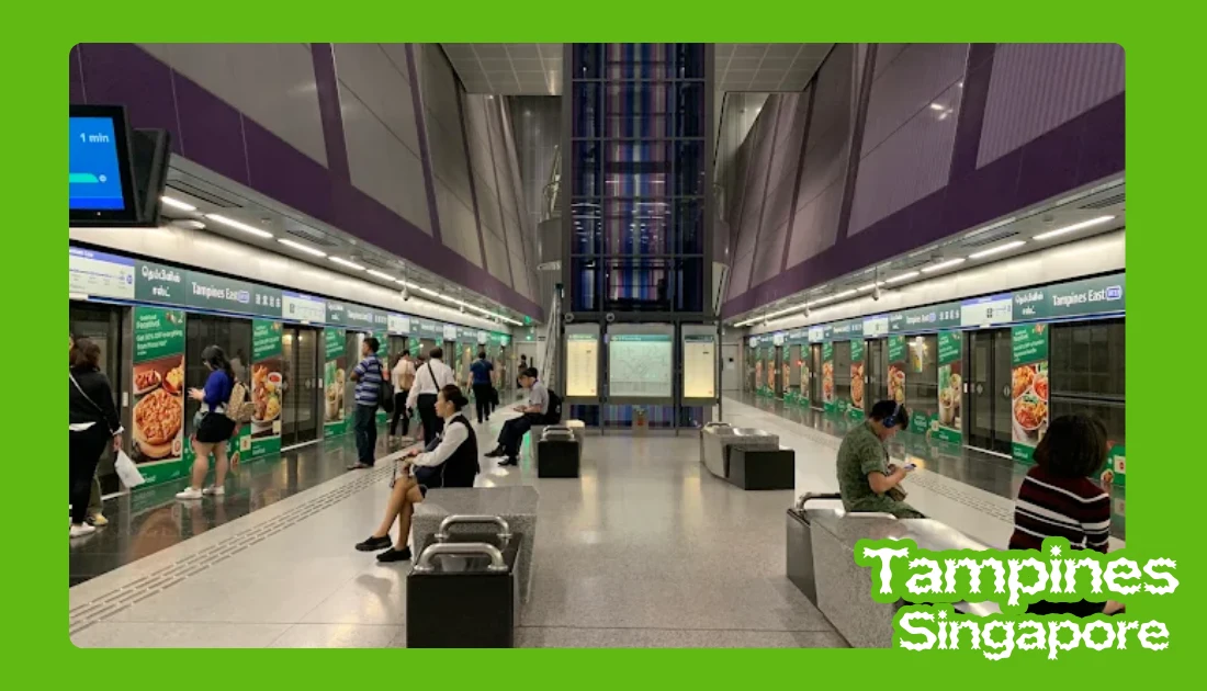
Inside the station, the layout is straightforward — a concourse level for fare gates, ticketing, and passenger information, and a platform level below it. Tampines East uses a single island platform, meaning one central platform serves trains in both directions, so once you know your direction, you just need to be on the correct side of the same platform rather than navigating between separate platforms on different levels. Full-height platform screen doors separate the platform from the tracks, which is standard across the Downtown Line and adds a layer of safety and climate control that older, above-ground stations elsewhere in Singapore don’t always have.
The concourse itself has wide walkways and clear directional signage, which matters more than it sounds — during a busy period, a station that’s easy to read visually makes a real difference to how smoothly people move through it, rather than everyone bunching up trying to work out where the fare gates or the right platform side are.
The Station’s Four Exits
This is the part worth getting right, since it’s easy to end up at the wrong exit and add unnecessary walking, particularly if you’re carrying shopping, travelling with family, or trying to reach a specific block. Tampines East actually has four exits, not the two that tend to get mentioned most often:
- Exit A — on Tampines Avenue 7, near Tampines North Park and schools including Gongshang Primary and East View Secondary
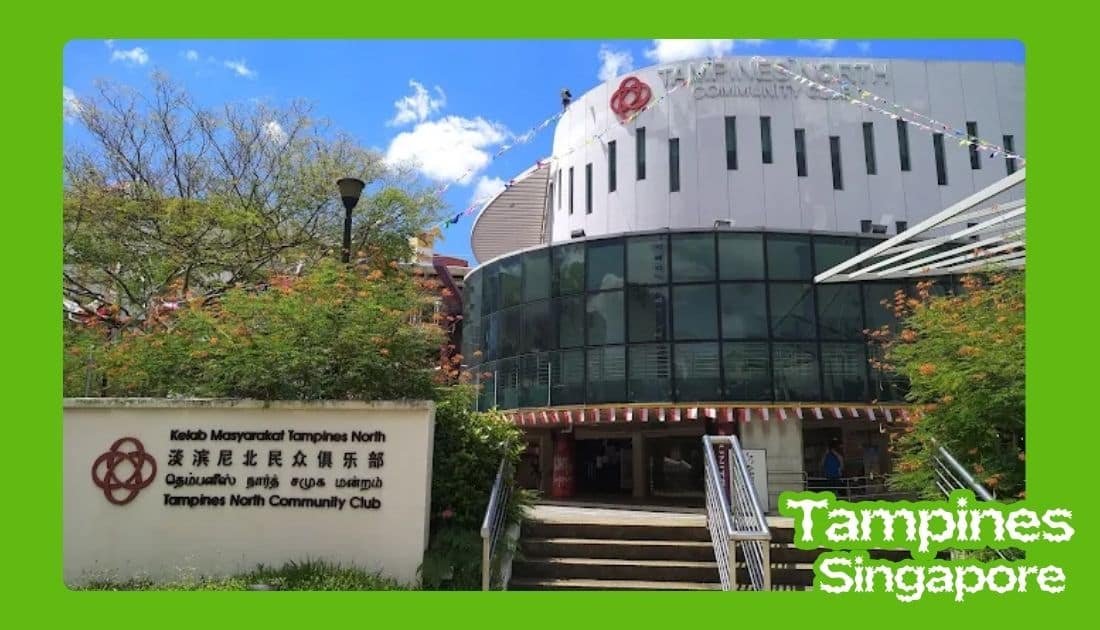
- Exit B — on Tampines Avenue 2, near Tampines East Community Club, Tampines N2 Market, and Tampines Street 23/24
- Exit C — also on Tampines Avenue 2, near the cycling path and park connector, and Ngee Ann Secondary School
- Exit D — on Tampines Avenue 9, near Dunman Secondary School
I’d check which exit is actually closest to your destination rather than assuming the station only has the two exits most commonly mentioned online — Exit A and Exit D genuinely exist and serve different parts of the neighbourhood, and skipping them means potentially adding a much longer walk than necessary. If I were meeting someone or visiting a specific block for the first time, I’d look up the exit beforehand rather than guessing once I arrive at street level, since the four exits face genuinely different directions and none of them are a short cut to the others without walking back through the station itself.
Exit B and C, both on Tampines Avenue 2, are close enough to each other that it’s worth double-checking which one actually lines up with your route — they’re on the same road but serve slightly different pedestrian catchments, and picking the wrong one of the two can still mean crossing a road unnecessarily.
Accessibility
Tampines East has the barrier-free features I’d expect from a modern Singapore MRT station — lifts, escalators, and step-free routes connecting street level, concourse, and platform. Tactile guidance and audio announcements support passengers with different mobility or visual needs, and electronic displays give real-time information for anyone who prefers reading over listening for announcements.
This matters particularly if you’re travelling with luggage, a stroller, or something bulky — knowing lifts are available removes one obstacle from the journey, and it’s not something I’d assume automatically at every station in Singapore, even though it’s genuinely common across the newer lines. For elderly commuters or anyone with a temporary injury, having a reliable lift route between all three levels of the station is a small but real difference-maker.
Schools Nearby
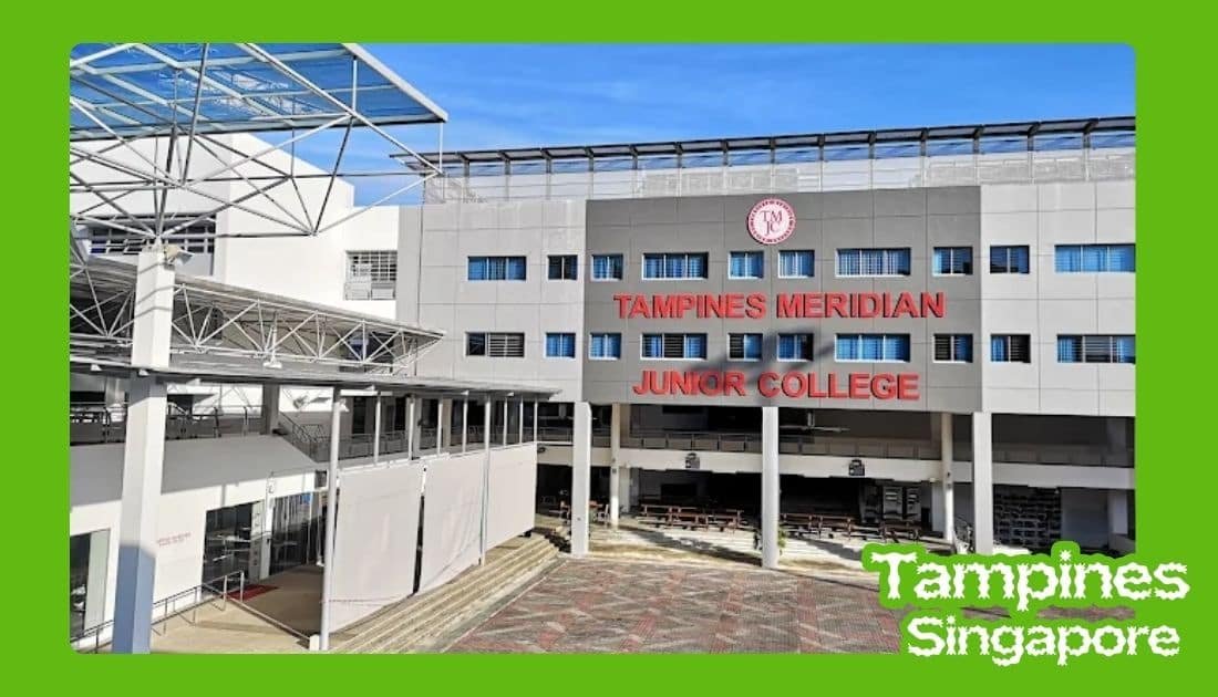
The station does serve a genuinely school-heavy catchment area, though I’d be careful about assuming a specific school is right next to a specific exit without checking directly. Based on what’s confirmed, Gongshang Primary and East View Secondary sit closer to Exit A, while Ngee Ann Secondary and Dunman Secondary are closer to Exits C and D respectively. If you’re a parent planning a school run, or a student figuring out your own commute for the first time, I’d confirm which exit and route actually makes sense for your specific school rather than assuming based on a general list, since the wrong assumption here could mean a longer walk or crossing a busier road than necessary.
Morning and afternoon periods naturally get busier because of this school traffic layered on top of ordinary commuting, so if you’re travelling through the station around typical school start or end times, I’d allow a little extra buffer rather than expecting the same pace you’d get at, say, midday on a weekend.
Buses Around the Station

Although I primarily think of DT33 as an MRT station, the bus network around it matters when your final destination isn’t immediately walkable. Bus stops near the different exits connect to Tampines Avenue 7, Tampines Avenue 2, and Tampines Avenue 9 respectively, giving reasonably wide coverage of the surrounding estate beyond just the immediate area around the entrances.
If my destination is deeper inside the residential estate — say, a block that’s a genuine ten or fifteen minute walk rather than five — I’d check the available bus connection rather than assume I need to walk the whole way, particularly during hot afternoons or if I’m not travelling light. This is especially useful for older passengers, families with young children, or anyone carrying groceries or shopping, where the extra walking distance genuinely matters more than it might for a solo commuter moving quickly between train and destination.
Getting From Tampines East to Tampines Central
For me, the MRT makes this simple — Tampines East and Tampines are connected directly by the Downtown Line, so I can use the MRT rather than arranging a separate bus or car journey. That makes DT33 useful even when the final destination isn’t actually in Tampines East itself — it can just be the starting point of a wider Tampines trip, with the interchange station only a short ride away for anyone who then needs to switch to the East-West Line or head into the main shopping cluster.
What’s Around the Station
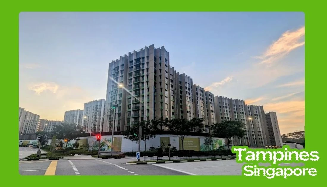
Once you leave the station, the experience changes completely — instead of a transport complex, you’re back in a residential neighbourhood. Around the station and surrounding streets, I found the kinds of everyday amenities I’d expect from a mature HDB estate: local food options, coffee shops, convenience stores, supermarkets, schools, community facilities, parks, and recreational spaces.
This is one of the things I like about exploring Tampines neighbourhoods more generally. The MRT station isn’t necessarily the destination itself — it often acts as the starting point for exploring everything around it, whether that’s a quick meal at a nearby coffee shop before continuing your journey, or simply a way to reach a friend’s block without needing a car.
Busy Periods
I’d expect DT33 to get noticeably busier during the usual morning and evening commuting periods, with school traffic adding to that at particular times of day. When travelling during a busy period, I’d leave a little more time rather than planning everything down to the minute — the station isn’t difficult to navigate, but crowds can make reaching the escalator, passing through the fare gates, or simply exiting the station a bit slower than it would be at a quieter hour.
Weekday mornings in particular tend to combine both commuter traffic and school traffic at once, which is worth keeping in mind if you’re travelling through around 7 to 8am. Evenings between roughly 5 and 7:30pm are the other predictable peak, as working residents return home around the same time students are also finishing after-school activities.
What I’d Prepare Before Using DT33

- Check the train direction — towards Expo or towards Bukit Panjang
- Check which of the four exits is actually closest to your destination, not just the two most commonly mentioned
- Check whether you need a bus or walking connection after leaving the station
- Allow extra time during morning and evening peak periods, especially around typical school hours
- Bring an umbrella — Singapore weather can change quickly, and part of the journey from exit to destination may still be outdoors
None of these are complicated on their own, but I’ve found that thinking through them before leaving home saves more time than it seems like it should. A wrong exit choice alone can easily add five or ten minutes of unnecessary walking, which adds up if it happens on both the way there and the way back.
A Note on How I Put This Together
I want to flag that I corrected two things in this piece against Singapore’s official transit reference sources: the station’s address, which appeared inconsistently in earlier drafts (one version gave a completely different street number that didn’t match the station’s actual location), and the number of exits, which is genuinely four rather than the two most commonly mentioned in general write-ups about this station. I’d still recommend checking LTA’s own station information directly for anything time-sensitive, like current first and last train timings or any service changes, since those details can be adjusted periodically in ways a static article can’t always keep up with.
My Final Thoughts
What I like about Tampines East MRT is that it doesn’t try to be something it isn’t. It isn’t the massive transport and shopping hub that Tampines MRT is — instead, it’s built around the everyday needs of a residential community. I can walk from nearby housing estates, take the Downtown Line towards the city or towards Expo, connect with buses, or simply use the station as my starting point for exploring Tampines East.
The surrounding schools and neighbourhood facilities make its role in daily life fairly obvious once you spend even a short time around it — this is a station that exists to serve the people who actually live nearby, rather than to draw visitors in for its own sake. For someone visiting the area for the first time, I’d think of DT33 as more than just a place to catch a train. With four exits, each genuinely serving a slightly different part of the neighbourhood, it’s one of the easiest starting points for understanding this side of Tampines — as long as you take the small extra step of picking the right exit to begin with, rather than assuming any of them will get you roughly where you need to go.